-
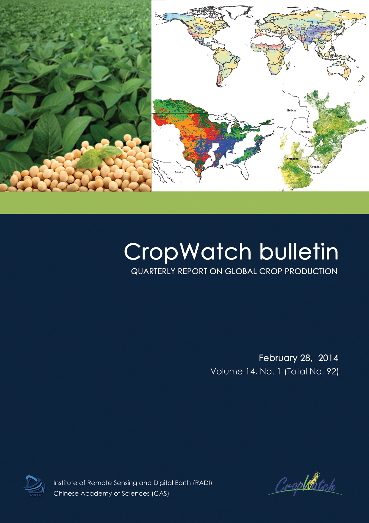
The February 2014 CropWatch bulletin (Vol. 14, No. 1) presents a global overview of crop stage and condition between October 2013 and January 2014. Using a hierarchical approach mostly based on remote sensing indicators, the bulletin describes environmental variables—rainfall, temperature, radiation, and biomass—for the globe, along with agronomic indicators—vegetation condition and health indices, ratio of uncropped arable land—for major production areas, thirty key countries, and China. The bulletin also summarizes disasters and extreme weather events over the monitoring period and presents a focus section on soybean.
Key messages from the report:
- Favorable season outcomes for three of the four major wheat producers in the southern hemisphere (Argentina, Australia, Brazil, and South Africa), resulting in a combined output of 43 million tons.
- An increase in cropped land area in China (about 10 percent), reducing the potential losses due to this winter’s warm weather; cropped land areas decrease in Russia, Turkey, Canada, and the United States.
- Several unusual weather patterns, including (i) above average temperatures over most of northern Eurasia, from Siberia and China to Germany, compounded by drought in several central European countries; (ii) unusually low temperature in the United States and Canada (also widely reported in the media); (iii) above average rainfall in South Asia and adjacent semi-arid central Asian countries; and (iv) drought in the southern and eastern Mediterranean.
- Overall, mostly unfavorable conditions for: Armenia, Azerbaijan, Canada, Georgia, Moldova, Morocco, Philippines, Poland, Spain, Turkey, Ukraine, United States, and Vietnam; and mostly favorable conditions for: Bangladesh, Czechia, Germany, India, Kazakhstan, Mexico, Myanmar, Pakistan and Thailand.
Introduction
This CropWatch bulletin presents a global overview of crop stage and condition between October 2013 and January 2014. It is prepared by the - CropWatch research team in the Institute of Remote Sensing and Digital Earth, Chinese Academy of Sciences in Beijing. This introduction section, titled “About this bulletin” presents an overview of the bulletin sections. The PDF also includes other front matter, such as the cover, table of contents, and list of abbreviations.DownloadChapter 1 Global environmental indices for agriculture: light, temperature, and water
Chapter 1 presents an overview of environmental indices—specifically rainfall, temperature, photosynthetically active radiation (PAR), and biomass, which form the broad and global background for the CropWatch analyses presented in subsequent chapters. The global overview of the environmental indicators in this chapter focuses on the sixty global Crop Production System Zones (CPSZ) and six Major Production Zones (MPZ).DownloadChapter 2 Farming intensity and stress in major production zones
Chapter 2 provides more detail on agriculture-specific indices—percentage of uncropped arable land (UAL), the vegetation condition index (VCI), and the vegetation health index (VHI)—to describe farming intensity and stress in six Major Production Zones (MPZ) across all continents. The six MPZs are West Africa, South America, North America, South and Southeast Asia, Western Europe, and Central Europe and Western Russia.DownloadChapter 3 Production and crop condition of key countries
Chapter 3 presents CropWatch assessments for thirty individual countries, from Argentina (ARG) to South Africa (ZAF). Following a global production outlook in section 3.1, section 3.2 presents crop condition maps for each country, showing maximum VCI, spatial NDVI patterns and associated profiles, biomass, and a crop condition development graph. For the three large wheat producing countries in the southern hemisphere—Argentina, Australia, and Brazil—wheat production estimates for 2013/14 are provided.DownloadChapter 4 Crop and growing conditions in China
Chapter 4 presents a detailed CropWatch analysis for China, focusing on its seven regions: Huanghuaihai, Inner Mongolia, Loess region, Lower Yangtze region, North East China, Southern China, and Southwest China. Similar to chapter 3, an overview of crop and growing conditions in China (section 4.1) is followed by a section with crop condition maps for each of the seven regions, showing NDVI background, a crop condition development graph, spatial NDVI patterns and associated profiles, maximum VCI, and biomass.DownloadChapter 5 Focus and perspectives
Chapter 5 complements CropWatch analyses presented in chapters 1 through 4 by presenting two topics of relevance to global agriculture. Section 5.1 presents an overview of extreme atmospheric factors that interfered with crop production over the monitoring period. Section 5.2 examines soybean production, in particular the unusual situation of one major global buyer and just three main producers.DownloadAnnex
Tables in this Annex provide additional information about the environmental indices for the Crop Production System Zones (table A.1), Major Production Zones (A.2), and countries (tables A.3 through A.12). Figures A.1, A.2, and A.3 illustrate global distribution of environmental index values. For the nine largest country—Argentina, Australia, Brazil, Canada, China, India, Kazakhstan, Russia, and the United States—values are also provided for the first-level administrative district (e.g., states or provinces).DownloadGeneral Resouces
Download

